Monday 12 January 2015

GIS BOOT CAMP HELD ON 10TH JANURY 2015 AT DEDAN KIMATHI UNIVERSITY OF TECHNOLOGY


As you all know, GIS (Geospatial Information Science)  is an art and science commonly applied in our today lives.We need GIS in almost of our daily activities. In order for this to happen it should be practiced and researched on often. We as the Dedan Kimathi University students usually come together and discuss issues concerning GIS in our today's lives and share knowledge.
During the lastly held GIS BOOT CAMP organized by the GDEV Committee members with support from the department , Institute of Geomatics, GIS and Remote Sensing (IGGReS)  , we had to share more as the students and more so learn much about emerging issues in the field of GIS.
Various issues where brought at hand and discussed on.The audience got enough time to learn and appreciate more about GIS.
Various topics were covered during the boot camp where the audience got to learn more of what is in the field of GIS.Much thanks and appreciation goes to the Fourth years for bringing on the know-how of GIS to most of the audience.
These include: 
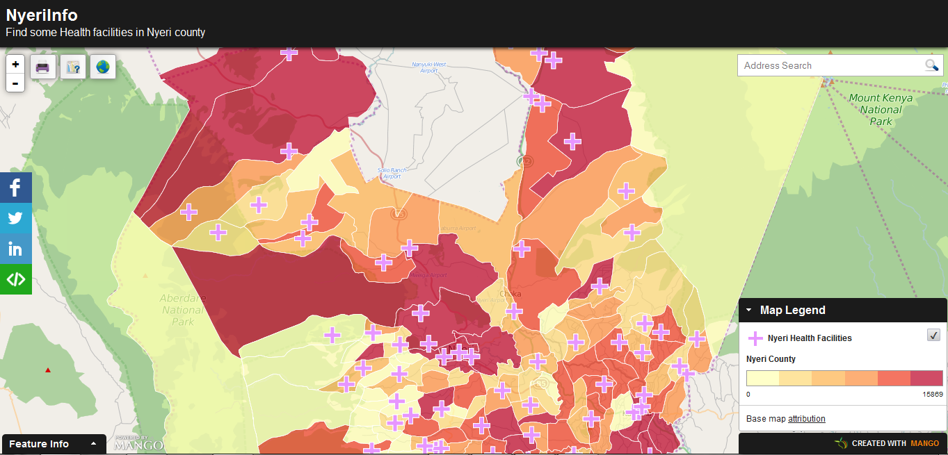
1. Introduction to Open Source GIS Platforms (Data integration between Desktop GIS and Web GIS)
2. Health break and Social communications
3. Database Systems and Web GIS
4. Health break and Social communications
5. Mobile GIS and Social developments

It was such a knowledge sharing event and special thanks to all those involved.
Here are some of the pictures from the event.
Find us on twitter 

Photo Session after the Bootcamp
Social communications session
Capturing good moments
The Boot camp organizers


Wednesday 10 December 2014

Web Mapping Evolution

For years, web mapping has been slowly developing to serve the modern day internet users and offer various functionality to map users online.Web mapping is helping millions of internet users to share and interact with fellow users online despite their spatial location.Efforts to share map data online have been futile for the last few years due to lack of well streamlined platforms to assist general users access mapping functionality easily and conveniently while maintaining the efficiency of operations.With the current technologies such as the FOSS sector and other proprietary platforms,map sharing and interactivity online has been a reality.Imagine creating a web application in ten minutes and publishing your information at a go?Awesome.Mangomap has created this platform to rescue users/students who were drowned in the world of web mapping.Creating a web map in five minutes is their target.
While exploring the internet , I came across this stunning site allowing me to create a web map in five minutes.I just created this NyeriInfo application.Am sure this will go a mile in helping students and researcehrs in need of  sharing their work online.
NyeriInfo web app

Wednesday 26 February 2014

Mau Mau story map

Great innovations have been developed with the current growth in GIS technology.During the Mau Mau conference held at the DKUT grounds(18th-21st 2014),a story map was showcased,that has all the information about the Mau
 Mau and occurrences of events in various places during the times of Kenya's fight for independence.
A photo of Mau Mau Hero

The story map incorporates both pictorial and written representations of the Mau Mau timeline.The map will go further in helping students and other interested parties access information all in one place and save them the time spent in researching for the information.For more information visit Mau Mau Story map


Tuesday 11 February 2014

DIGITAL MAPPING OF NAIROBI ROUTES FOR MATATUS

The emergence of a digital mapping project for the transport industry brought about by the collaboration of University of Nairobi, Columbia University’s Center for Sustainable Urban Development MIT’s Civic Data Design Lab , and Groupshot. This research is maent to ease the transport mess(if i may call it) around the city and county as a whole. To the GIS enthusiasts I think that thus can also be implemented to other counties. Here is a link to read more about it visit HERE

Thursday 6 February 2014

HELB for University students

HELB,a word well known by almost every university student.A loan to help students through their education period.What are the priorities you give as student after receiving the loan?Its you choice.Maybe new phone,pants,parties,rent,transport or any other.Its all the decision of the loaner.The loans status is relative as little money or appropriate is the loaner's opinion.I have never heard anyone say that its much in campus.How is the helb loan?little,appropriate?

 Egerton University had a talk on the ways one can utilize their loan for a better education period and better upkeep.Students were urged to use the money well in their education and upkeep and not by buying beer or on drugs,women etc.As this was being told,the students burst into laughter,MEANING?I don't know.huh is it funny telling a student about alcohol?Tell me

NOTE:In all what you do remember there is a consequence.


Don't use you money hivi hivi.Kaa rada msee.

Thursday 23 January 2014

INTERNAL ATTACHMENT FOR THE SECOND YEARS

The attachment period for the Second years started at a slow pace which was unexpected to most of the students....Although the department was understaffed(for lack of a better word) maybe most of them still nursing the January blues, so to speak. With most students still shocked with the introduction of new software being used for the attachment period like Erdas Imagine 9.2 and also Quantum GIS.  The students also seemed to be in a rush to get the software and install them on their newly acquired laptops as there has a notable increase in the number of laptops in the class, that aside the lecturer who is new to the students, Mr Masden started on a low note not in a hurry to rush knowledge into our heads but the students appreciated him as per the comments I got around. The task also that is at hand is being taken seriously by the students although the class is half full, but most students anticipate the field work sessions because they have been praised by the third year students who are now busy at various organizations undertaking their external attachment.

Wednesday 8 January 2014

GDev Kenya-An innovation group by the students

         Three years after commencing the GIS course in Dedan Kimathi University of Technology,a group of students have gone Hi-Tech and developed an innovation group that is GIS-Developing oriented.The group has show some great progress in their innovations having participated in many events in the school.The group goes by the name GDev for GIS Developers.GIS is a key field in the modern day life and education world.With advances in GIS,GDev has a great and comprehensive plan on how to better the GIS sector in the society.
         The group creates a good platform for the members to share and develop their skills in GIS by participating in events e.g National shows,organizing events within the university,participating in various projects etc.This platform equips the students with ample/adequate information and skills preparing one to be competitive in the market for future benefits.This will go along helping interested parties in many ways.Visit GDev Kenya on Google+ for more details.
Sample exercises conducted by the Group-Routing
Steve and Sam during the ASK Nyeri Show
Presentations to the Governor Nyeri County,Nderitu Gachagua

Thursday 17 October 2013

GIS Day-Dedan Kimathi University of Technology

Geospatial Information Science is one of the fastest growing field and being well appreciated by the industries to automate their tasks by using spatial data to solve problems,predicting the future of the organisations etc.GIS is being integrated in almost every other field due to its power in analysis and helping in concrete decision making for both people and organizations.

This event is the first to be held in DKUT and thus provides a good chance for students,people in corporate world and other interested parties to appreciate the use of GIS in the modern world and evaluate its capability to solve various issues affecting them.
The event will be held on November 8,2013 in the DKUT grounds and its expected to be a really great day of interactive sessions,presentations and talks for the attending persons.Every interested persons are welcome for the event on this day.For more details about the event visit HERE

Monday 23 September 2013

Typhoon Usagi hits China

This is the worst typhoon ever encountered in China as it produced winds of  165 km/h to 180km/h in some areas.It swept the land leaving toppling trees as it blew the vehicles of the roads.The typhoon left many areas flooded causing the victims to drown in the waters.The storms left  3.5 million people affected,destroyed businesses leading to economic destabilization($526m losses).
 Satellite imagery provided information about the typhoon and various agencies were able to analyze the disaster.

NASA's analysis of the Typhoon Usagi-TRMM
satellite image taken by the Japan Meteorological Agency's MTSAT-2 satellite and provided by the National Oceanic and Atmospheric Administration (NOAA)

 For more info visit HERE